

- Baseera 360
Dubai's Engineer-Certified Drone Survey and Inspection Company. We See What Others Miss.
Hairline cracks 40 storeys up that go unnoticed until they’re a liability. Site surveys that stall a project for weeks before a single spade hits the ground. Inspections that mean scaffolding, shutdowns and unnecessary risk to your team. These are the problems Dubai’s developers, consultants and facilities teams live with every day.
Baseera 360 changes that. As the drone survey and inspection company Dubai relies on for engineer-certified results, we deliver GCAA and DCAA-approved surveys, inspections and aerial data across Dubai, Abu Dhabi and the wider UAE, faster, safer, and without a single ladder, rope or lane closure.
How It Works. From Quote to Report
01
Request Your Quote
Tell us your site, service and timeline. We confirm scope, emirate and deliverables within 24 hours.
02
We Handle the Permits
GCAA, DCAA, Ministry of Defence and emirate-level clearances are managed entirely by our team. No surprise bills, no paperwork on your desk.
03
Capture & Inspect
Trained specialists arrive with the right drone, sensor or rope-access setup. Most inspections are complete within a single day.
04
Engineer Review
Every dataset is reviewed and signed off by a professionally registered engineer. Not just exported and sent.
05
Decision-Ready Delivery
Receive tagged photos, thermal maps, CAD-ready files and prioritised recommendations via our secure client portal.
Every Angle Covered, One Trusted Name
Baseera 360 brings seven specialist disciplines under one accountable roof: aerial mapping and land surveying, real estate and corporate aerial photography, facade and rooftop inspection, rope access and BMU-based inspection, RERA-aligned property snagging, infrastructure inspection, and Matterport 3D scanning. Every project, whatever the service, is captured by trained specialists and signed off by professionally registered engineers, so what lands in your inbox isn’t just a set of pretty images; it’s a decision-ready report. As a drone inspection company, we are one of the drone companies in Dubai that pair commercial drone services with engineer sign-off, so every dataset is ready to act on.
As a GCAA and DCAA-approved drone survey and inspection company Dubai’s biggest names already work with, we manage every permit and airspace clearance ourselves, in every emirate, so your project never stalls waiting on paperwork. Our drone services in UAE include drone videography services for developers and asset owners, alongside inspection and survey work in Dubai, Abu Dhabi and the wider emirates.
Our Services
Seven Skies of Expertise, One Standard of Precision
01
Aerial Mapping & Land Surveying
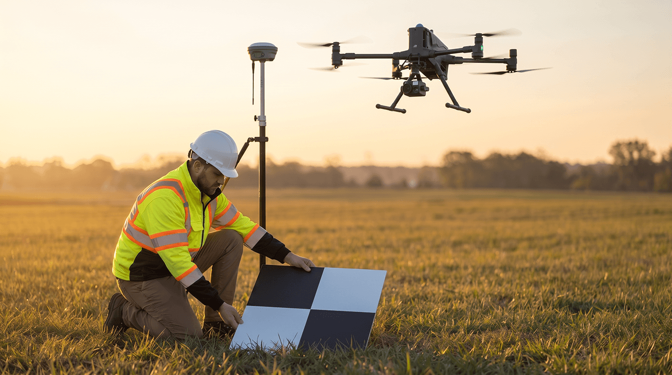
Swap the tripod and measuring pole for a drone that maps your entire site in a single flight. Using RTK/PPK GNSS and ground control points, our drone land surveying delivers orthomosaics, contour maps, 3D point clouds and cut-and-fill volume reports accurate to 1–3 cm, CAD- and GIS-ready from day one.
02
Aerial Photography & Videography
Sell the building before it's finished. Our Real Estate Aerial Photography Dubai teams capture cinematic 4K/8K footage and high-resolution stills of properties, launches and events, polished, colour-graded and ready for your next campaign, brochure or social feed.
03
Facade & Rooftop Inspection
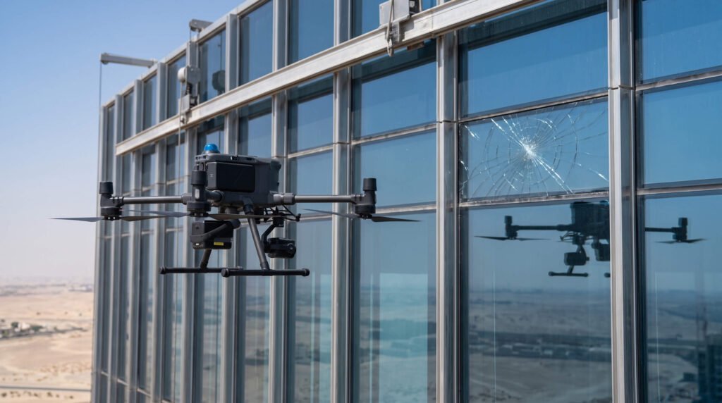
Every crack you can't see is a repair bill you can't budget for. As a dedicated Facade Inspection Company Dubai property owners call first, we fly high-zoom and thermal cameras across every elevation and rooftop, flagging spalling, sealant failure, loose cladding and hidden water ingress, no scaffolding, no shutdown.
04
Rope Access & BMU Inspection
Some jobs need a hand, not just a camera. Our IRATA-certified rope access technicians and BMU cradle specialists go straight to the defects our drones flag first, testing, sealing, cleaning and repairing at height, safely and on record.
05
Property Snagging & Handover
Don't inherit someone else's problem. We inspect every room, fitting and finish against contract and quality standards before you take the keys, logging every snag with photos and floor-plan references, then re-inspect once it's fixed.
06
Infrastructure & Asset Inspection
Solar farms, wind turbines, power lines, pipelines and telecom towers fail quietly, until they don't. As a specialist Infrastructure Inspection Drone UAE partner, we scan these assets with thermal and zoom sensors to catch faults before they become failures, fires or costly downtime.
07
Matterport 3D Scanning
Walk a building without leaving your desk. We scan interiors into fully interactive, measurable digital twins, complete with floor plans, dollhouse views and a shareable link, for marketing, records or remote handover sign-off.
Not sure which service fits your project?
Why Choose Baseera 360
One partner, seven disciplines
survey, media, inspection, rope access, snagging and Matterport, without juggling five different vendors.
Engineer-certified, not just drone-captured
every report is reviewed and signed by a registered engineer, built to hold up under audit.
Survey-grade precision
RTK/PPK GNSS accuracy of 1–3 cm, exported straight into AutoCAD, ArcGIS and Civil 3D.
Credentials that matter
IRATA rope access, ITC-certified thermography, RERA-aligned snagging, and a secure client portal for every deliverable.
See the difference an engineer-certified inspection makes.
Industries We Serve
From high-rise towers to solar fields, Baseera 360 supports UAE organisations that can’t afford to guess.
- Real Estate & Construction
- Facilities Management
- Hospitality & Leisure
- Oil, Gas & Energy
- Dredging & Marine
- Survey & GIS
- Government & Municipal Authorities
- Insurance & Legal

Licensed, Certified, Accountable





Baseera 360 operates as a fully compliant drone services provider in the UAE, meeting every applicable aviation, defence, construction, safety and real estate regulation.

Covering Every Corner of the UAE Skyline
Headquartered in Dubai, with dedicated coverage across Dubai and Abu Dhabi and active projects throughout Sharjah, Ajman, Ras Al Khaimah and the Northern Emirates. Permit rules shift from one emirate to the next; we track and manage every one of them, so you don’t have to.
FAQ
Frequently Asked Questions
Is Baseera 360 legally approved to fly drones across the UAE?
How precise are your aerial land surveys?
Can you inspect a facade without scaffolding or shutting the building down?
Do you offer Infrastructure Inspection Drone UAE services for solar and power assets?
What do I actually receive after a drone inspection or survey?
Get a Quote
Tell us your service, your emirate and your project scope; we’ll come back with a proposal built around your site, not a template.