

- Aerial Mapping and Surveying
Aerial Mapping and Surveying Across the UAE, Accurate to the Last Centimetre
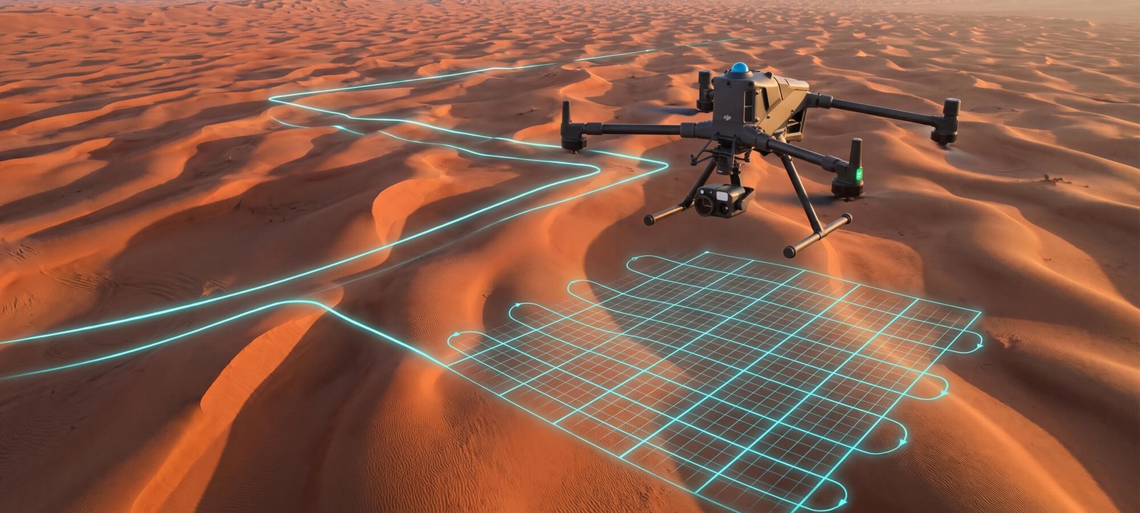
Traditional site surveys mean days of tripods, scaffolding and manual measuring, and you still can’t be sure the numbers are right until it’s too late to change course. Baseera 360 replaces the slow, uncertain parts of a traditional survey with one drone flight, delivering the Aerial Mapping UAE developers, engineers and land surveyors rely on for site data they can actually build, plan and pay against.
What Lands in Your Inbox
Every project is handed back in formats your team can use immediately:
Orthomosaic maps
A flat, to-scale aerial image you can measure directly from
Topographic and contour survey maps
Plus Digital Elevation and Terrain Models (DEM/DTM)
3D point clouds and CAD-ready files
(DWG/DXF) built for your engineers
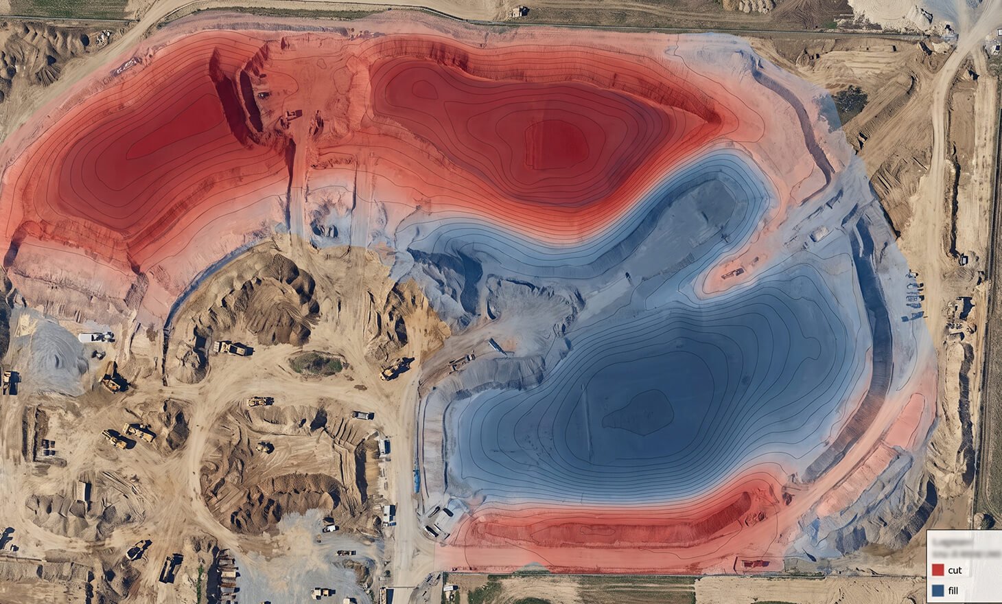
Volume and cut-and-fill reports
For excavation and stockpile management
GIS layers and shapefiles
For planning and asset management
This is what proper aerial photogrammetry surveying looks like in practice, not a single flat image, but a full dataset your engineering, GIS, and finance teams can each put to work.
Curious which deliverables your project actually needs?
Built For Anyone Who Needs to Understand a Site Before They Build On It
Our Aerial Mapping and Surveying service is used across the UAE by:
- Construction and civil-engineering contractors
- Real-estate developers
- Land surveyors and land survey companies in the UAE seeking outsourced aerial capture
- Mining and quarrying operators
- Government and municipal planning bodies
- Agriculture and solar developers assessing land before development
Whether you’re a topographic survey company needing extra field capacity, or a developer who simply wants to know exactly what you’re building on, this service gives you the ground truth before the first spade goes in. Baseera 360 is a GCAA-registered and DCAA-registered operator, flying mapping missions across Dubai, Abu Dhabi and the wider UAE. For developers and contractors, repeat flights also support construction progress monitoring, so each stage can be compared against plan.
What Happens Behind the Scenes
Getting from “drone in the air” to “data on your desk” involves a few careful steps:
01
We plan and fly drone missions across your land, site or corridor, capturing high-resolution photos and, where the project calls for it, LiDAR laser data.
02
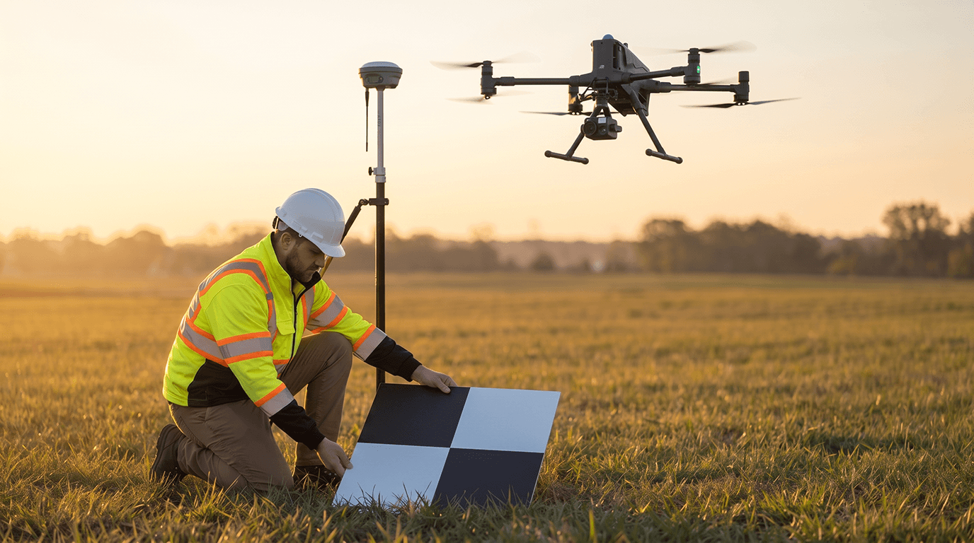
We anchor every flight to real-world coordinates using ground control points alongside GPS/RTK positioning.
03
We process the captured imagery into orthomosaics, point clouds and terrain models.
04
We analyse the finished data in GIS software, measuring areas, elevations, slopes, and stockpile or earthwork volumes.
It sounds technical because it is, but the outcome is simple: a map of your site that’s accurate enough to design against, not just look at.
Why Teams Choose Baseera 360 Over a Traditional Ground Crew
Speed
Large or hard-to-reach sites captured in hours, not days
Certainty
Ground Control Points and independent checkpoints mean accuracy is proven, not assumed
Full data, not just imagery
Orthomosaics, point clouds, contours and volumetrics from a single flight
Regional expertise
A trusted Aerial Mapping UAE partner with full knowledge of local permit and airspace requirements
Direct-to-CAD delivery
Files that drop straight into your existing engineering and GIS workflows. Indoor spaces can be captured with Matterport 3D scanning.
We’re proud to be counted among the aerial survey companies raising the bar for what a single drone flight can deliver: engineering-grade data, not just an aerial photo. For visual media, see our aerial photography and videography.
Ready to compare timelines and cost against a traditional survey?
A Drone, Hundreds of Photos, One Accurate Map
Forget the image of a survey crew walking your site with tripods and measuring poles. At Baseera 360, our Aerial Mapping and Surveying service replaces that entire process with a drone flight. We send an aircraft over your land or construction site, capturing hundreds of overlapping photographs from every angle. Specialist software then stitches those images together into a single, highly accurate map and 3D model of the ground beneath.
From that one flight, we can measure distances, areas, heights and volumes, all to genuine survey-grade accuracy. It’s the same information a traditional survey would give you, just captured in a fraction of the time, with less disruption to your site and your schedule.
As a dedicated drone survey company Dubai teams already call on for fast, dependable data, we’ve built our process around one goal: giving you numbers you can actually build with, not just a nice-looking picture from the sky.
Why Ground Control Points Are the Difference Between "Close" and "Correct"
Here’s something many clients don’t realise: a drone map can look flawless and still be sitting several metres away from where the site actually is on Earth. That’s the gap Ground Control Points close.
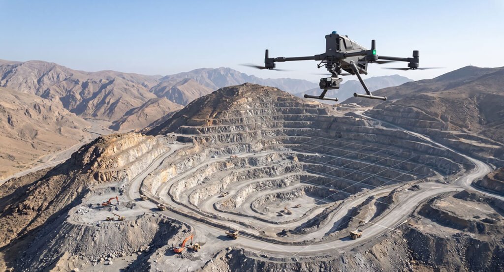
GCPs are clearly marked targets placed across your site, and we measure their exact real-world position using survey-grade GNSS/RTK/PPK. When we process the drone imagery, the software locks onto these known points, pinning the entire map to the official coordinate system so every feature sits exactly where it should, not just where it appears to.
This is where two types of accuracy stop being interchangeable:
Relative accuracy
Measurements are consistent with each other (a 10m wall still reads as 10m), but the whole map could be shifted from its true real-world location.
Absolute accuracy
Every feature sits at its correct, verifiable position on Earth. This is what a proper Ground Control Points Survey delivers, and it's what engineering, construction stake-out and legal boundary work genuinely require.
We spread GCPs evenly across your site, right out to its edges, and we hold back extra independent checkpoints that aren’t used in processing, purely to prove the accuracy we’ve achieved once the report is complete. Done this way, absolute accuracy comes down to the centimetre, so the maps we hand over can be trusted for design, setting-out and volume-based payments, not just a rough visual reference.
Every figure we state in our mapping and survey report is checked, not just claimed. We measure accuracy against ASPRS positional standards and put it through the NSSDA error-testing method, the same two benchmarks engineers worldwide use to separate a trustworthy survey from a rough estimate. So when we say a dataset is accurate, it’s a number you can put on a drawing, not just take our word for
Want to see how GCPs would work on your site?
Not Just a Method - A Track Record
We don’t just talk through the process; we’ve flown it. Our aerial mapping and surveying work has covered live construction and mixed-use sites across the UAE, including a mixed-use complex in Abu Dhabi, a mixed-use tower in Dubai, and a residential tower in Dubai. Each project followed the same standard: GCP-anchored capture, independently checked accuracy, and CAD/GIS-ready delivery.
FAQ
Frequently Asked Questions
How is a drone survey more accurate than it looks in a photo?
What's the real difference between relative and absolute accuracy?
Can this replace a traditional ground survey completely?
What file formats will I actually receive?
Do you work with mining, agriculture and infrastructure sites, or just construction?
How many Ground Control Points does my site actually need?
Can you map a corridor, like a road or pipeline route, not just a single site?
Ready to See Your Site the Way Your Engineers Need To?
Tell us your site location and what you’re trying to achieve, and we’ll come back with a clear scope, timeline, and quote for your aerial survey.