

- About Baseera 360
Redefining How the UAE Inspects, Surveys, and Protects Its Built Environment
Every skyline tells a story of ambition. But behind every iconic façade lies a critical question few ask until it’s too late: is it safe, sound, and performing the way it should?
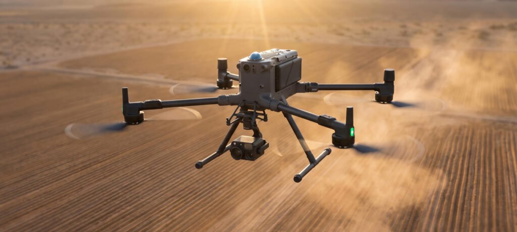
At Baseera 360, answering that question is our reason for being. We are the future-proof inspection and reality-capture business which is where drone technology, engineering precision and hands-on field experience combine to provide you with a more precise, quicker and more secure view of your assets than traditional methods have ever offered.
Baseera 360 is a UAE-based technology and inspection services company established in October 2025, specialising in drone-based inspection, aerial surveying, façade inspection, reality capture, and specialised access solutions. We were built on a simple but powerful premise: inspection work should be smarter, safer, and significantly faster than the decades-old methods the industry has relied on, without ever compromising on engineering rigour.
We combine advanced drone technology with experienced ground-based teams to deliver accurate, efficient, and safer inspection and surveying solutions for buildings, infrastructure, construction projects, and other assets across the UAE. The result is a partner that speaks the language of every stakeholder in a project’s lifecycle:

01
Engineering Consultants
gain richer, sharper data to strengthen every technical report and recommendation.
02
Facilities Management Companies
gain the reliable insight preventive maintenance planning depends on.
03
Government & Regulatory Authorities
gain compliance-ready documentation they can trust.
04
Developers & Asset Owners
gain long-term protection for the value they've invested in building.
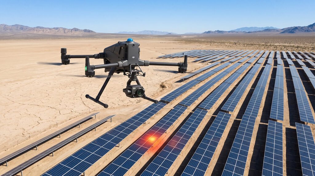
Our Core Strength: Façade Inspection
Façade inspection is the place where Baseera 360 was born and is the base of all we do. We integrate drone inspection, access via rope, BMU (Building Maintenance Unit) access and expertise in facade engineering using the best mix to meet the needs of every project. This layered, engineer-led method allows us to address both intrusive and visual inspection needs, cutting down on traditional access methods when it is safe and feasible to do so, and without ever compromising in accuracy.
Beyond façade inspection, Baseera 360 fields dedicated teams for drone mapping and surveying, aerial photography and videography, Matterport and reality capture, snagging, infrastructure inspection, and other ground-based inspection services, giving clients a single, accountable partner capable of covering the full inspection and documentation journey, from concept to completion.
Our Leadership
JA Tawil – Managing Director
Vision drives every great inspection company, and at Baseera 360, that vision belongs to JA Tawil. As the company’s Managing Director, JA Tawil leads the company with a constant commitment to technology-driven inspections as well as quality of operations, safety and quality of service, setting the standards for what an ideal modern inspection company ought to look like.
Under this leadership, Baseera 360 has built a multidisciplinary operational structure that brings aerial technology, engineering, inspection, access, surveying, data processing, and project management together under one roof. The advantage for you is simple: no chasing multiple vendors, no fragmented data, no guesswork, just one accountable team delivering the complete picture of your asset.
Our Multidisciplinary Team
One Company. Eight Specialised Teams. Zero Guesswork.
Great inspection outcomes are never the work of a single specialist; they’re the result of great teams working in precise coordination. Baseera 360 operates through specialised teams that come together strategically around each project’s unique requirements:
01
Technical Team – Ground & Aerial
Responsible for the technical execution, surveying, inspections, as well as field operations.
02
Operations Team – Ground & Aerial
is responsible for project planning, coordination planning, scheduling and project execution.
03
Data Processing Team
Processes and delivers survey, mapping, photogrammetry, inspection, and reality-capture data.
04
Sales & Business Development Team
Works closely with clients to understand project requirements and develop suitable technical solutions.
05
BMU & Rope Access Team
Provides specialised access solutions for façades and difficult-to-access areas.
06
Façade Engineering Team
Supports façade assessment, inspection, and engineering-related requirements.
07
Snagging Team
Conducts construction and property snagging inspections and documentation.
08
Reality Capture Team
Handles Matterport scanning and other digital reality-capture requirements.
This structure means every project is matched with exactly the right combination of skills, every time, never a one-size-fits-all approach.
What We Do
Six Capabilities. One Trusted Partner.
Drone Façade Inspection
See every inch of your building, without the risk. Our drones capture high-resolution façade data, and where intrusive inspection is needed, our rope access and BMU teams step in seamlessly.
Drone Mapping & Surveying
Turn any site into precise, usable data. From orthomosaics and 3D reconstruction to DSM/DTM and photogrammetry, we deliver survey-ready results fast.
Aerial Photography & Videography
Show your project at its absolute best. Professional drone photography and videography for real estate, construction, and commercial needs.
Matterport & Reality Capture
Bring your space into the digital world. Matterport scanning creates navigable digital records for planning, marketing, and facility management.
Snagging & Ground Inspection
Catch what others miss, before it costs you. Our snagging team documents construction and property defects for clear, actionable handover records.
Our Approach
Technology + Engineering + Access + Data
At Baseera 360, we believe modern inspection should never rely on just one discipline; it should combine technology, engineering expertise, and practical field experience into a single, seamless solution. That belief is the foundation of everything we build.
For every project, we select the most appropriate combination of drone, ground inspection, rope access, BMU, surveying, and data-processing capabilities- never a fixed formula, always a tailored solution. Our objective is uncompromising: give clients accurate data, clear documentation, efficient field operations, and inspection information they can act on with total confidence, whether that action is a maintenance plan, a compliance report, or a critical repair recommendation.
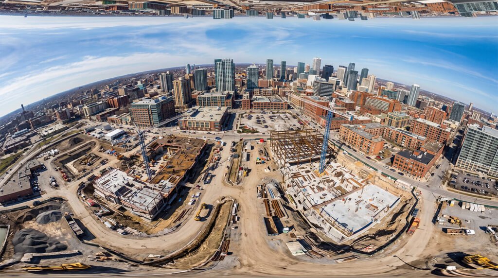
Serving Projects Across the UAE
From Dubai’s towering structures to Abu Dhabi’s growing infrastructure, Baseera 360 is equipped to complete projects throughout the United Arab Emirates, subject to any applicable project-specific permits and approvals as well as operational specifications. From high-rise facades and buildings to infrastructure, construction sites, surveying land, and commercial properties, our multidisciplinary teams are designed to help projects of all sizes and complexities. We have the necessary technical expertise to support engineers and facilities management firms, in addition to regulatory and government authorities, as well as developers and property owners as well.
If you’re responsible for the safety, compliance, or long-term value of a building or asset, Baseera 360 is built to be your inspection partner of choice, combining the precision of engineering with the speed and reach of modern technology, so nothing important ever goes unseen.
Ready to see your asset like never before?
Get in touch with our team to discuss your next inspection or survey requirement.