

- About Baseera 360
Professional Software for Data Processing,Mapping & Digital Reality
A drone can only ever be as good as the workflow behind it. At Baseera 360, our technology doesn’t stop the moment a drone lands; it’s just getting started. Every flight generates raw imagery, thermal data, and spatial information that must be processed, analysed, and translated into deliverables your team can actually act on.
That’s why we’ve built a technology ecosystem around field-proven capture equipment, photogrammetry, GIS, CAD, 3D processing, point-cloud analysis, reality-capture, and web-based geospatial platforms. Whether you’re an engineering consultant needing defect-level accuracy, a facilities management team planning preventive maintenance, a government authority verifying compliance, or a developer protecting a long-term asset, our software stack is selected project by project to match exactly what your building, your budget, and your timeline require.
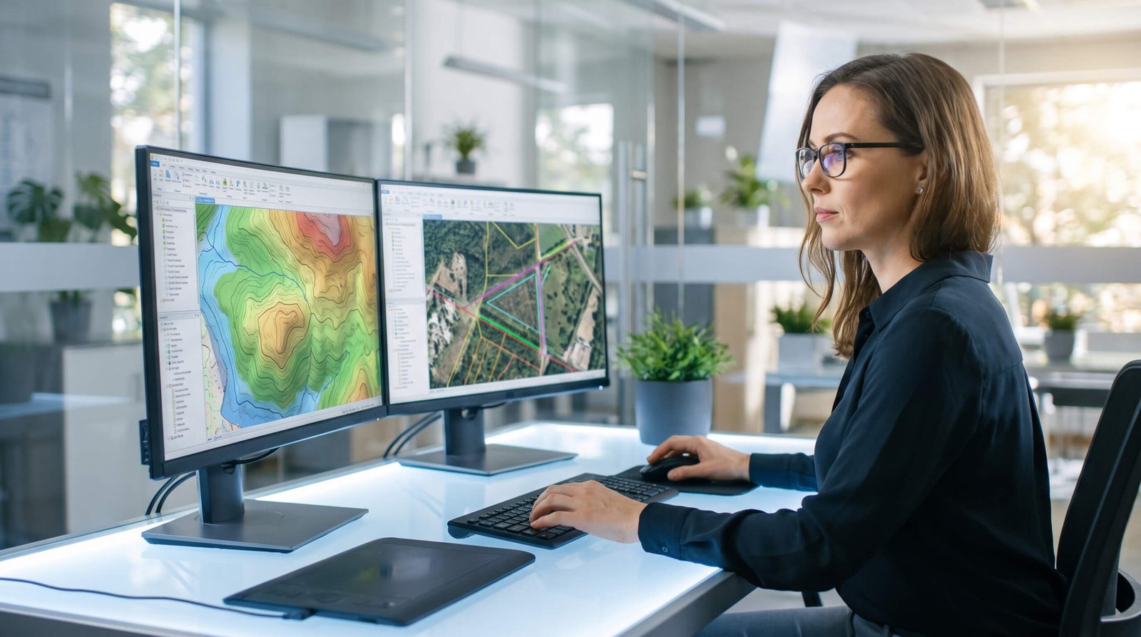
Photogrammetry & Mapping
Turning thousands of aerial images into one accurate, measurable model is where façade inspection becomes engineering-grade evidence rather than a photo gallery. It starts with the right equipment in the air:
Mapping
DJI Matrice 400 with DJI Zenmuse P1 (35mm sensor). For large-scale aerial mapping, we deploy the Matrice 400 paired with the Zenmuse P1's 35mm full-frame sensor. It captures the high-resolution, geometrically accurate imagery that photogrammetry software needs to produce reliable orthomosaics, digital surface models, and precise 3D reconstructions- the raw data engineering consultants and surveyors build their technical outputs on.
Inspection
DJI Matrice 400 with DJI Zenmuse H30T. For close-up façade and asset inspections, the same Matrice 400 platform carries the Zenmuse H30T, a multi-sensor payload combining thermal imaging, high-zoom optical cameras, and laser rangefinding. This lets our team detect water ingress, cracks, delamination, and heat-loss patterns invisible to the naked eye, giving facilities managers and asset owners defect-level evidence, not just photographs, before it ever reaches the software stage below.
DJI Terra
processes drone imagery into geospatial outputs our team relies on for photogrammetric reconstruction, orthomosaic generation, 3D reconstruction, point-cloud generation, digital surface models, and full mapping workflows.
Pix4Dmapper
supports professional photogrammetric processing and surveying, producing orthomosaics, point clouds, DSM generation, 3D models, aerial mapping outputs, survey data processing, and photogrammetric reconstruction- the kind of precision engineering consultants build technical reports around.
Agisoft Metashape
handles advanced photogrammetric processing for projects involving large, complex datasets. It's our go-to for orthophoto generation, point-cloud processing, digital elevation products, 3D reconstruction, and photogrammetric modelling on demanding, high-volume inspections.
GIS & Geospatial Analysis
For portfolio owners and authorities managing multiple properties or public assets, spatial context is everything. Our GIS toolkit brings that context into every project.
ArcGIS
manages GIS-based data, spatial analysis, mapping, visualisation, and geospatial project workflows at a professional standard.
QGIS
gives us an additional open-source GIS environment for geospatial data processing, visualisation, analysis, and project-specific mapping needs, flexibility that keeps projects moving efficiently.
Global Mapper
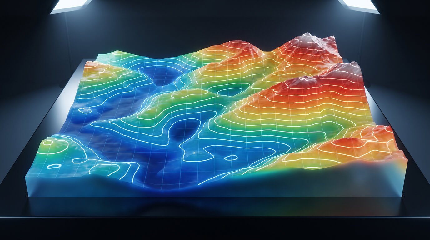
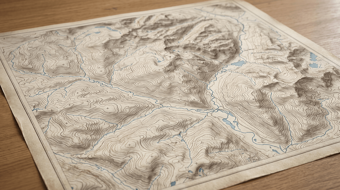
processes terrain, elevation, point-cloud, raster, and vector data, supporting terrain modelling, elevation data, contours, point clouds, and broader geospatial analysis.
Google Earth Pro
supports project visualisation, location assessment, preliminary site review, geographic referencing, and project planning, useful groundwork before a single drone leaves the ground.
CAD & Engineering Documentation
Data is only useful once it speaks the language your engineers and consultants already use.
AutoCAD 2D
is used for CAD-based drafting and engineering documentation. Processed survey and inspection findings can be incorporated directly into CAD environments, producing drawings and technical deliverables ready for design teams, consultants, and regulatory submissions.
3D Processing & Point-Cloud Technology
Façade defects are rarely flat, and neither is our analysis. For Interior spaces, that analysis starts with a different kind of capture altogether.
Interior Scanning Workflow:
Matterport Pro 3 beyond the reach of drones, the Matterport Pro 3 scans lobbies, common areas, and interior spaces quickly and accurately, converting them into interactive digital twins and virtual walkthroughs. These scans feed directly into our point-cloud and 3D mesh processing below, extending our reality-capture capability from the façade all the way inside the building.
CloudCompare
provides advanced point-cloud visualisation, inspection, comparison, and processing, supporting point-cloud inspection, comparison, 3D data analysis, registration and alignment, measurement, and quality assessment.
MeshLab
processes, cleans, edits, and visualises 3D meshes and related datasets, supporting our 3D reconstruction and digital modelling workflows from raw capture to finished model.
3D Gaussian Splatting & Advanced Visualization
Cinematic Photo & Videography
DJI Mavic 4 Pro. Immersive 3D visualisation starts with immersive source footage. The Mavic 4 Pro delivers broadcast-quality aerial photography and video, giving developers and property owners presentation-ready material for stakeholder updates and marketing, and the high-quality imagery our advanced visualisation workflow below can build on.
Nerfstudio
brings advanced neural rendering and 3D Gaussian Splatting into our workflow, transforming captured imagery into highly detailed, immersive 3D representations of real-world buildings and environments.
Potential applications include 3D site visualisation, digital reality capture, immersive project visualisation, complex asset documentation, 3D scene reconstruction, and web-based 3D experiences, as part of our ongoing exploration of next-generation reality-capture technology beyond conventional photogrammetry and 3D modelling.
WebGIS & Digital Integration
A PDF report tells you what happened once. A living digital platform tells you what’s happening now, and what to watch for next.
Our geospatial workflows can integrate into WebGIS environments, giving facilities managers, developers, and authorities access to processed spatial information and project datasets through web-based platforms. This can support interactive maps, spatial data visualisation, asset locations, inspection records, project dashboards, aerial imagery, survey datasets, geospatial databases, and client-facing project portals, moving your building data beyond static drawings and reports into an interactive digital environment your whole team can use.
From Drone Capture to Digital Deliverables
Our technology workflow connects field data acquisition with professional processing and final project delivery, step by step:
01
Drone / Reality Capture
02
Data Processing
03
Photogrammetry & 3D Reconstruction
04
GIS / CAD / Point-Cloud Processing
05
Analysis & Quality Control
06
WebGIS / Digital Visualization
07
Final Project Deliverables
An Integrated Digital Workflow
By combining professional drone platforms and specialised sensors with a broad, purpose-selected software ecosystem, Baseera 360 manages the complete data lifecycle, from acquisition and processing through to analysis, visualisation, and delivery.
Our technology stack includes:
01
Photogrammetry
DJI Terra | Pix4Dmapper | Agisoft Metashape
02
GIS
ArcGIS | QGIS | Global Mapper | Google Earth Pro
03
CAD
AutoCAD 2D
04
Point Cloud & 3D
CloudCompare | MeshLab
05
Advanced 3D
Nerfstudio | 3D Gaussian Splatting
06
Digital Integration
WebGIS
This integrated approach is what allows Baseera 360 to deliver technology-driven solutions across façade inspection, aerial surveying, mapping, construction documentation, reality capture, 3D visualisation, and geospatial analysis, giving engineering consultants sharper technical evidence, facilities teams reliable maintenance data, authorities verifiable compliance records, and developers a long-term digital record of asset value.